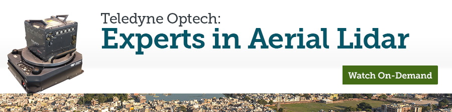
| New Geospatial Data Guidelines published by the Indian Government earlier this year have set the stage for a huge growth in the uptake of Aerial LiDAR. This technology has been shown to benefit a variety of applications including infrastructure projects, risk mitigation against disasters and urban planning to name a few. Topographic and climatic conditions in India present a challenge to aerial LiDAR operations - challenges that Teledyne Optech sensors are well suited to addressing. |